Stormy weekend helps shrink rain deficit in Western Washington — But is it enough?
Feb 26, 2025, 1:09 PM | Updated: 1:11 pm

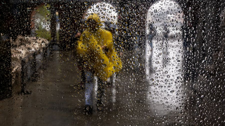
Rain in Western Washington. (Photo: Jason Rantz, KTTH)
(Photo: Jason Rantz, KTTH)
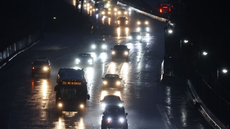
The recent wet and windy weather helped make a dent in the year’s precipitation dip in Western Washington. But how much did the moisture help play catch-up to the average rainfall for the year thus far?
Heading into this past soggy weekend, the region was well behind average. Seattle-Tacoma International Airport (SEA) had just over 3 inches of rain, more than 5 inches or only 37% of normal. As of midnight Tuesday, the weekend’s rainfall of over 2 inches bumped the average for the year to 59%.
In the South Sound, Olympia had only about four and a half inches for the year leading into the weekend, close to a 7-inch deficit or about 40% of average. The current rainfall total is now close to 7 and a quarter inches or about 58% of average.
Bellingham and Hoquiam were a little better moving into the wet weekend, receiving just over 50% of average rainfall thus far this year. Today, Bellingham was up to 78% of average and Hoquiam 75%.
The usually quite wet region around Forks though was running just over 14 inches of rain behind or only about 37% of average heading into the weekend. This commonly damp community did make up some ground, yet not too much — now at about 45% of average rainfall for the year thus far.
More from MyNorthwest: Washington bridges suffer while lawmakers underfund maintenance and preservation
Looking at snow levels in Puget Sound region amid rain shortage
The greatest amount of precipitation over the weekend fell in the mountains. Unfortunately, snow levels climbed to just over 6,000 feet at times, not the best scenario for building the snowpack. The Olympics received 6 to 10 inches of precipitation, while the Cascades got between 4 and 8 and a half inches.
The Cascades from Snoqualmie Pass north to Mt. Baker had the greatest amount of new snowfall. According to statistics from the Northwest Avalanche Center, Mt. Baker added about a foot and a half of new snow to bring their total up to 137 inches on the ground. Alpental received close to 4 feet of new snow, raising their total to 107 inches of total snow.
The southern Cascades were not as fortunate, thanks in part to the higher snow levels. Crystal Mountain added nearly a foot to their snowpack, now at 96 inches. Paradise held steady at 154 inches on the ground and White Pass bumped its snow total by 5 inches to 110 total.
The water in the snowpack did rise a great deal over the weekend as the snowpack soaked up the rain that fell below the relatively high snow levels. The Olympics improved to just over 90% of average, while the North and Central Cascades rose to between about 70 to 85% while the South Cascades remained at nearly 110% of average.
The mountain snowpack usually peaks around April 1, leaving a month for additional catch-up. Unfortunately through this weekend, not much more precipitation is anticipated. A weak weather system moving into Oregon this weekend could produce a little light precipitation across parts of Western Washington and the mountains, if at all.
Looking forward well into next week and toward the middle of March, the latest weather outlook points toward about average temperatures and nudges the odds to above-average precipitation. For the sake of an adequate water supply this summer and fall, including the mountain snowpack, the latter half of March will need to be a cool and wet period.
Ted Buehner is the KIRO Newsradio meteorologist. Follow him on X and Bluesky.


