More 80-degree temperatures ahead for Seattle area
Sep 2, 2025, 3:30 PM
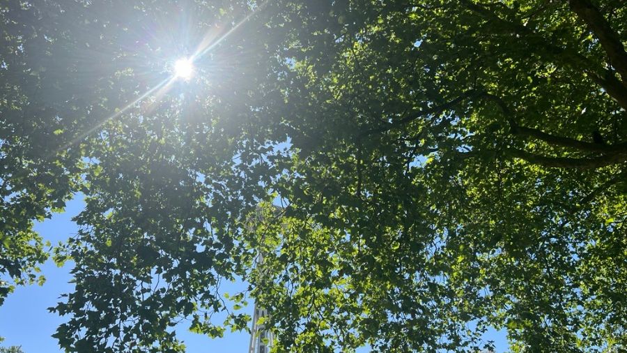
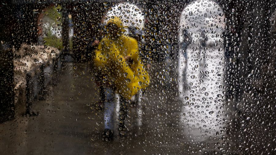
The sun peaks through the trees, slightly revealing the Space Needle in Seattle. (Photo: Julia Dallas, MyNorthwest)
(Photo: Julia Dallas, MyNorthwest)
Summer is not done with western Washington yet.
“We’re going to warm up into the upper 70s and maybe the mid 80s,” KIRO Newsradio meteorologist Ted Buehner forecast for Seattle. “Some places over the Cascade foothills might be knocking at the door of 90 degrees, for Wednesday and Thursday.”
But unlike heat waves earlier this summer, you’ll likely get some relief overnight.
“Most places will be in the 50s,” he said.
Seattle might see overnight lows closer to 60, “but you know we’ve reached that time of year that days are getting shorter, nights are getting longer, so we have a better chance to cool off at night,” Buehner said.
He predicted the latest dose of hot weather won’t last long.
“There’s a weak system moving through over the weekend, so that will probably provide an opportunity for some light showers, but mainly up in the mountains, which desperately need the moisture too,” he pointed out.
RELATED STORIES
Seattle behind on rainfall
Seattle is 6 1/2 inches behind on rainfall, so far this year.
“SeaTac Airport has had only 15 1/2 inches of rain,” Buehner shared. “That is the 7th driest since 1945, and it’s the second driest in the last forty years.”
Currently, he said, the entire state is in some form of drought. A wet winter would help.
“Right now, things are leaning towards a weak La Niña,” he said.
The weather pattern would bring the Puget Sound region a greater chance of lowland snow, but it would also generate more precipitation overall, “which we desperately need,” Buehner said.
In a few weeks, forecasters expect to get a clearer picture of what kind of weather may be heading our way this winter.
Read more of Heather Bosch’s stories here.
Follow @http://www.twitter.com/heatherbosch