Despite weekend rain, Washington’s wildfire season persists
Sep 16, 2025, 5:02 AM
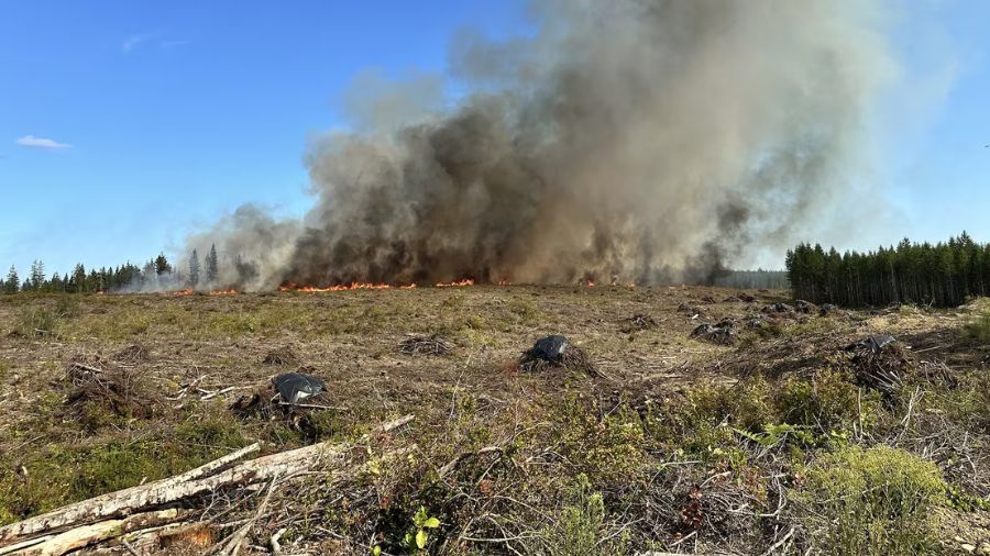
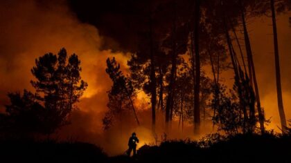
Two Mason County wildfires burn in Washington in July, 2025. (Photo: North Mason Regional Fire Authority via KIRO 7)
(Photo: North Mason Regional Fire Authority via KIRO 7)
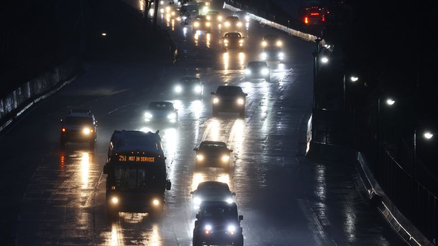
The wildfire along I-5 that burned into a Beacon Hill neighborhood on Sunday demonstrated that Washington’s wildfire season is not over.
The cause of the fire remains under investigation. Meanwhile, the weather pattern heading into Tuesday of this week will heighten the threat of wildfire conditions further.
High pressure building aloft over the Pacific Northwest—combined with low-level offshore flow blowing from eastern Washington toward the coast Tuesday—will rapidly warm and dry conditions.
High temperatures Tuesday are expected to jump 10 to 15 degrees from Monday’s readings, climbing into the 80s in many locations. The air flow from eastern Washington will also likely draw in some wildfire smoke from the more than a dozen fires east of the Cascades.
Seattle-Tacoma International Airport’s (SEA) record high on Tuesday is 91 degrees, set in 1967. So the rapid warm-up will not likely be record-breaking. Yet given the ongoing dry conditions and big warm up, wildfires could more easily be started and spread rapidly. The Beacon Hill/I-5 fire clearly showed how dry conditions are, and Sunday was a cooler, cloudier day!
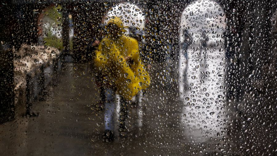
Did the rain on Sunday help?
The rain on Sunday was quite limited and literally was a drop in the big rain deficit bucket. SEA is now nearly 7 inches of rain behind for the year, and Everett-Paine Field is over 13 inches below normal, only 30% of average.
The North Sound received the bulk of Sunday’s rain, with many locations getting around a tenth of an inch. A few locations, though, did manage to receive close to a half-inch of welcome rain.
The big Tuesday warm-up, fortunately, will be short-lived. Low-level onshore flow from the Pacific Ocean into western Washington is forecast to return Wednesday. High temperatures are expected to drop back down into the 70s as the region resumes the weather pattern of areas of morning clouds and fog with afternoon sunshine.
RELATED STORIES
Any significant rain in sight?
The rest of this week looks to remain dry with highs in the 70s. This weekend, though, a weakening Pacific weather system moving primarily into British Columbia will bring another threat of light rain, similar to this past Sunday’s limited rainfall.
After that, and if longer-range forecast charts are on track, a weather system with more substantial rainfall is possible by the middle of next week. That event looks promising right now.
Until then, the threat of wildfires remains high, and until a “wetting rain” arrives, continue to follow ongoing outdoor burn bans, tighten tow chains on trailers, and avoid tossing any burning materials out of vehicles.
Ted Buehner is the KIRO Newsradio meteorologist. Follow him on X and Bluesky. Read more of his stories here.