Sunny skies return to Seattle after first fall storm clears out
Oct 13, 2025, 1:00 PM | Updated: 1:50 pm
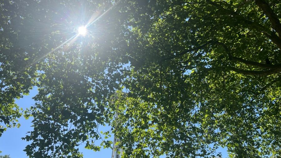
The sun peaks through the trees, slightly revealing the Space Needle in Seattle. (Photo: Julia Dallas, MyNorthwest)
(Photo: Julia Dallas, MyNorthwest)

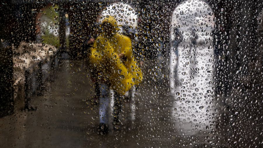
Any remnants of Seattle’s first autumn storm have cleared out in favor of sunny skies Monday.
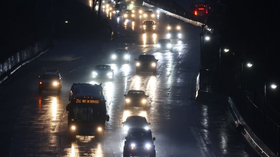
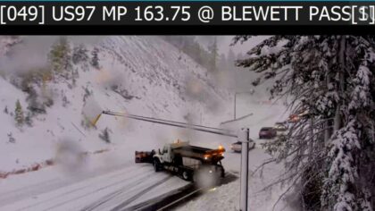
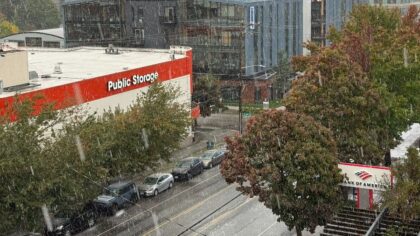
A torrential downpour of rain and hail struck several Seattle neighborhoods and surrounding areas Sunday afternoon, followed by multiple hours of thunder and lightning strikes. However, less than a day later, by early Monday afternoon, the sun came out and will remain so over the next few days.
Temperatures remain cool, hovering around the mid-50s from Monday to Wednesday. A Wind Advisory was also triggered Monday afternoon in western Whatcom County and the San Juan Islands.
The sunny, yet cool, conditions will persist throughout the Puget Sound region through Wednesday, with no day expected to exceed a 6% chance of rain. Clouds will invade the skyline by Thursday, but periods of cool sunshine will still occur throughout the workweek. By the weekend, rain is expected to return.
RELATED STORIES

When will it rain next?
Rain is expected to arrive late Thursday night, with a chance to continue into early Friday morning. By Saturday, heavier rain will be in full force in the afternoon. Starting this upcoming Sunday, six of the next nine days have a 60% or more chance of rain, according to The Weather Channel.
First thunder-and-hailstorm of fall strikes Seattle
Buckets of rain hit Seattle and other neighboring cities in the Puget Sound region Sunday afternoon, followed by a hailstorm accompanied by thunder and lightning.
Just after 4:30 p.m. Sunday, hail briefly covered many major thoroughfares and streets in the city before the consistent downpour of rain washed it away.
Thunder continued for the following few hours.
It is the first such storm to hit Seattle this fall. Moderate to heavy rain lasted through 8 p.m., according to the National Weather Service.
Washington’s dry 2025
The onslaught of rain will hopefully mitigate the damage an abnormally dry year had on Washington.
With the exception of March, the winter and spring months had well below-average rainfall for the year heading into summer. The Seattle-Tacoma International Airport (SEA) was nearly five inches below normal for the year through May.
That dry trend continued through much of the summer. Only August had more than the usual rainfall for the month by just more than a tenth of an inch. By the end of September, SEA had finished more than seven inches of rain below average for its annual precipitation thus far.
Follow Frank Sumrall on X. Send news tips here.